
Author name: David Mercer

David Mercer is an outdoor enthusiast and lifelong map reader with a particular interest in traditional navigation and British cartography. He enjoys exploring the UK's footpaths, national parks and countryside, combining modern GPS technology with classic map-and-compass skills. Through his writing, David aims to make navigation accessible to everyone, whether they're planning their first countryside walk or looking to improve their map-reading confidence. His articles focus on practical advice, clear explanations and the timeless value of understanding the landscape. When he's not writing, you'll often find him discovering new walking routes across Britain.

Skills

10 Common Map Reading Mistakes and How to Avoid Them

Map reading is a practical skill that becomes easier with experience, but even seasoned walkers and outdoor enthusiasts occasionally make mistakes. Most navigation errors are not caused by faulty maps or equipment, but by small oversights that gradually lead to confusion.
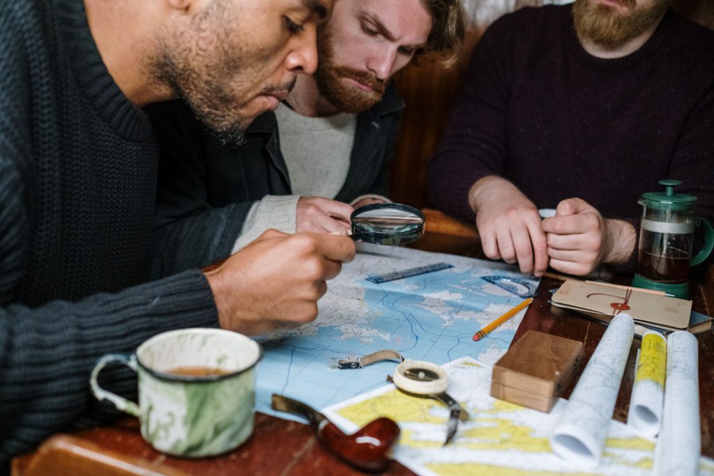
Fortunately, many of the most common mistakes are easy to avoid with a little preparation and regular practice. Here are ten map-reading errors that catch people out, along with simple ways to prevent them.


1. Holding the Map the Wrong Way Round

One of the easiest mistakes to make is looking at a map without first orientating it to match the landscape around you.

If north on the map does not point north in the real world, roads, rivers and landmarks can appear to be in completely different places.

How to avoid it:

  • Use a compass to orientate your map.
  • Match visible landmarks with those shown on the map.
  • Recheck the map whenever you change direction.

2. Ignoring the Map Scale

A kilometre on one map may occupy far more space than on another. Assuming all maps are drawn to the same scale can lead to poor route planning and incorrect estimates of walking time.

Different activities require different levels of detail.

Scale Best For
1:25,000 Detailed walking and hiking
1:50,000 General outdoor navigation
Smaller scales Regional planning and road travel

Always check the scale before estimating distances.


3. Reading Grid References in the Wrong Order

Grid references should always be read eastings first, then northings.

Many beginners accidentally reverse them, resulting in an entirely different location.

A useful reminder is:

Along the corridor, then up the stairs.

This simple phrase helps many people remember the correct sequence.


4. Forgetting About Contour Lines

A route may appear short on paper but involve several steep climbs.

Distance alone rarely tells the whole story.

Before setting out, look at:

  • Contour spacing
  • Total ascent
  • Valleys
  • Ridges
  • Steep slopes

Factoring elevation into your plans often results in a more enjoyable walk.


5. Depending Entirely on GPS

Smartphones and GPS devices are incredibly useful, but they should not be your only navigation tool.…
History

From Paper Charts to Smartphones: How Navigation Has Changed Over the Last 100 Years

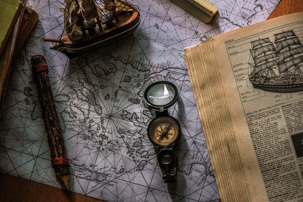
A century ago, navigating from one place to another looked very different from today. Journeys relied on printed maps, local knowledge and careful planning, while getting lost was often accepted as part of the adventure. Fast forward to the present day and most of us carry powerful navigation tools in our pockets, capable of pinpointing our location within a matter of metres.

Although technology has transformed the way we travel, many of the principles of navigation have remained remarkably consistent. Maps, direction and spatial awareness are just as important today as they were a hundred years ago.


Navigation Through the Decades

The way people navigate has evolved steadily over the past century.

Period Common Navigation Method
1920s–1940s Paper maps, signposts and local knowledge
1950s–1970s Improved road atlases and vehicle maps
1980s–1990s Electronic navigation and early GPS
2000s In-car satellite navigation systems
2010s–Present Smartphones, GPS and live digital mapping

Each generation has built upon the last, making travel faster, easier and more accessible.


The Era of Paper Maps

For much of the twentieth century, paper maps were the primary navigation tool.

Drivers kept road atlases in their cars, walkers carried detailed topographic maps, and sailors relied on carefully produced nautical charts.

Planning a journey often meant sitting at a table beforehand, tracing the route by hand and noting important landmarks along the way.

If you missed a turning, there was no automated voice telling you to turn around. You simply stopped, unfolded the map and worked it out.

A short-term loan can provide valuable financial support when unexpected expenses arise or income is temporarily reduced. In the United Kingdom, these loans such as th0se offered by Wage Day Advance are designed to help cover essential costs, such as utility bills, emergency car repairs, or other urgent household expenses until your next payday or another source of income becomes available. When used responsibly, a short-term loan can help prevent missed payments, reduce financial stress, and provide peace of mind during challenging periods.

However, it is important to borrow only what you can realistically afford to repay. Before taking out a short-term loan, …

Equipment

Essential Kit for Every Countryside Walk: What to Pack Before You Leave

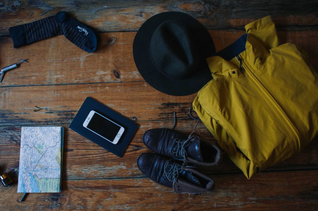
A walk in the countryside can be one of the simplest and most rewarding ways to spend time outdoors. Whether you’re following a well-marked footpath through rolling farmland or heading into more remote hills, taking the right equipment can make your day safer, more comfortable and far more enjoyable.

You don’t need expensive specialist gear for most walks, but carrying a few essential items means you’re better prepared if the weather changes or your journey takes longer than expected.


Start with the Basics

Before thinking about specialist equipment, make sure you have the essentials covered.

Every countryside walk should begin with:

  • Suitable footwear
  • Comfortable clothing
  • Drinking water
  • A fully charged mobile phone
  • A small rucksack
  • A map of the area

These simple items form the foundation of a safe and enjoyable day outdoors.


Choosing the Right Footwear

Your choice of footwear depends on the terrain and weather conditions.

Terrain Recommended Footwear
Country parks Trainers or walking shoes
Woodland paths Walking shoes
Hills and moorland Walking boots
Rocky terrain Supportive walking boots

Footwear should provide good grip, adequate support and enough comfort for the distance you intend to walk.

New boots are best worn on shorter walks before attempting longer routes.


Dress for the Weather

British weather is famously unpredictable.

Even on a warm summer’s day it’s sensible to carry an extra layer and waterproof clothing.

A simple clothing checklist includes:

  • Waterproof jacket
  • Warm fleece or jumper
  • Breathable base layer
  • Walking trousers or shorts
  • Hat
  • Gloves during colder months
  • Spare socks

Several thin layers are usually more effective than one heavy layer because they can be added or removed as conditions change.


Navigation Equipment

Technology has made navigation easier, but traditional tools remain valuable.

Consider carrying:

  • Paper map
  • Compass
  • Smartphone with downloaded offline maps
  • Portable power bank

Even if you mainly use GPS, having a paper map available provides reassurance if batteries fail or signal is lost.


Food and Drink

Staying hydrated is just as important as following the correct route.

For shorter walks, water may be all you need.

For longer outings, consider packing:

  • Water bottle
  • Sandwiches
  • Fruit
  • Cereal bars
Scroll to Top